
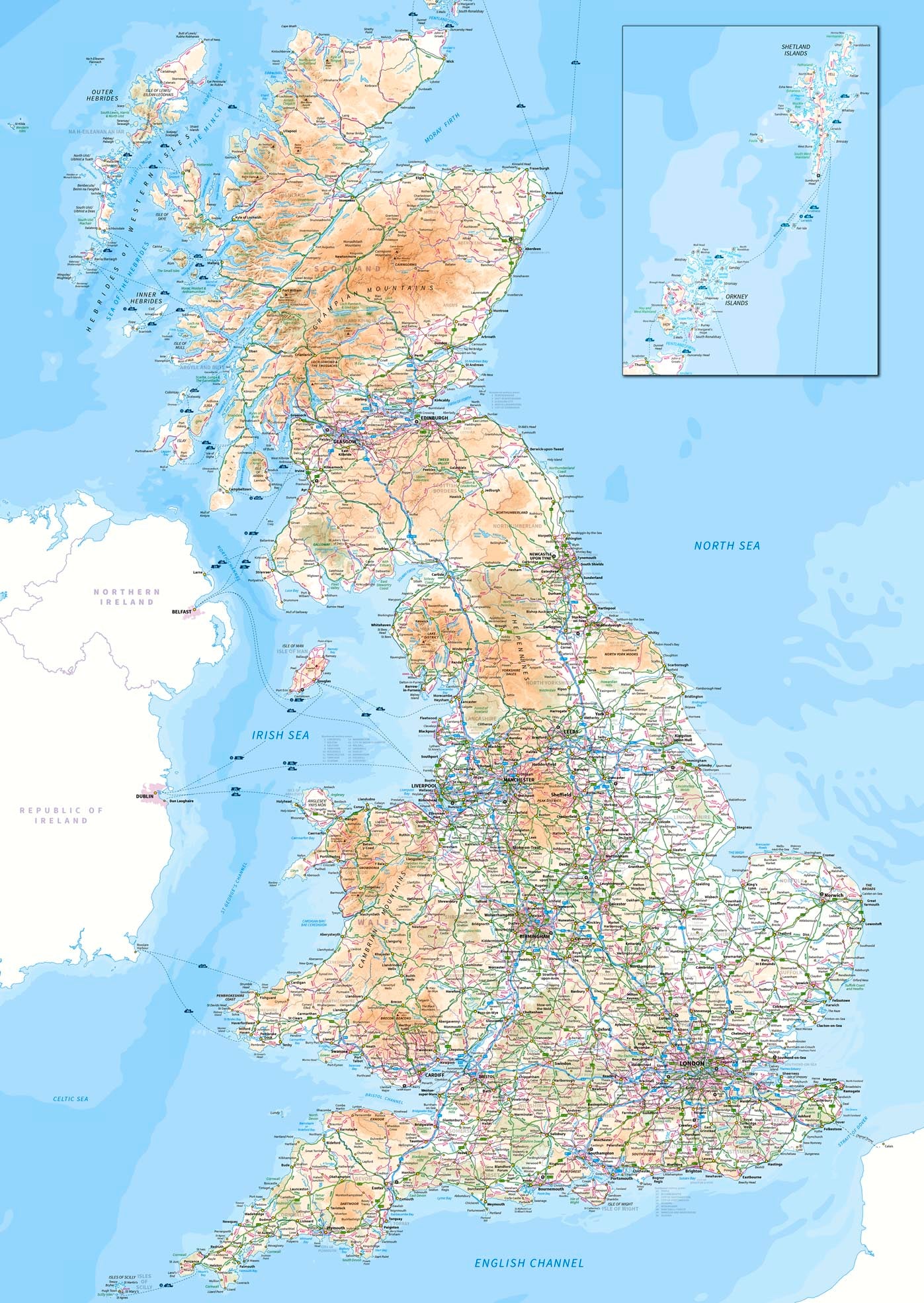
Great Britain Map Poster
£50.00
-
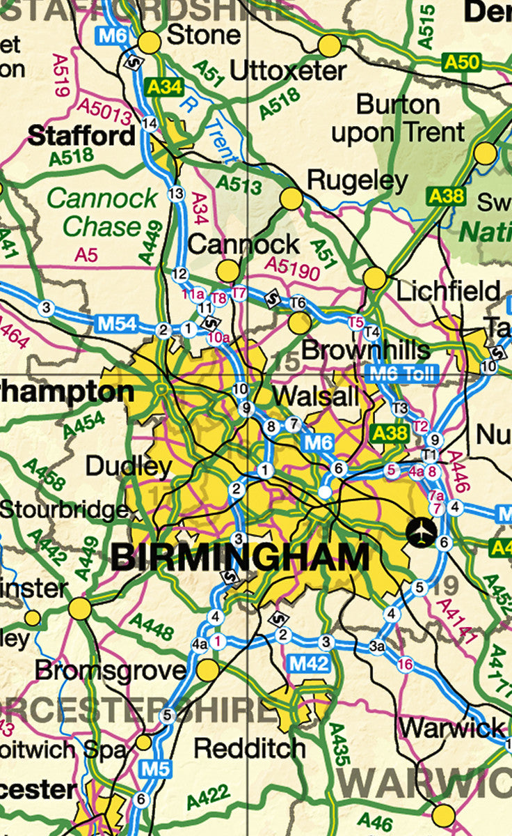
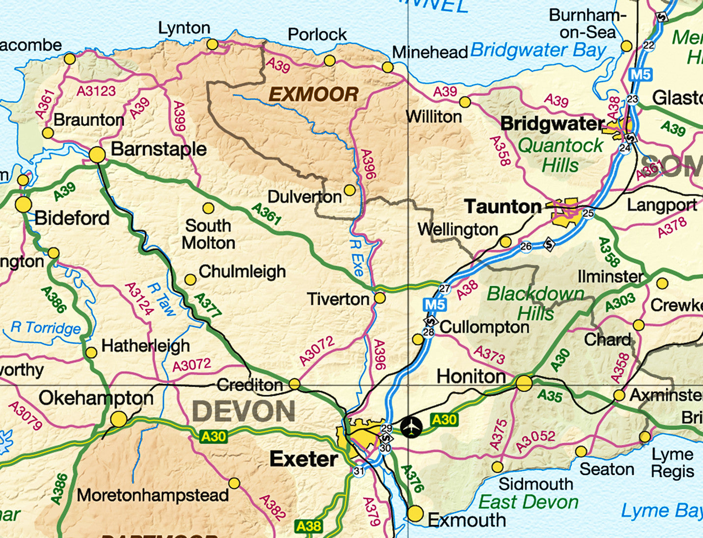
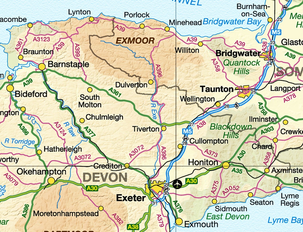
The whole of Great Britain from the Shetland Islands to Land's End, mapped in crisp Ordnance Survey detail. Cities, towns, and major road networks are clearly marked, making this an essential reference for home, office, or logistics planning.
Whether you're plotting routes, tracking deliveries, or simply appreciating the shape of the nation, this large-format poster brings the map to life at a scale that rewards close inspection.
- Ordnance Survey mapping with cities, towns, and main roads
- Covers the full extent of Great Britain - England, Scotland, and Wales
- Ideal for business, logistics, education, and home display
- Available in A1, A0, and B0; choose Standard or Premium finish
- Printed to order in the UK
-
Standard Posters - A good quality poster printed on durable 140gsm matte coated paper.
Premium Poster - A superb gallery quality poster printed on high grade premium 260gsm satin paper.
- A1 (841mm x 594mm)
- A0 (1189mm x 841mm)
- B0 (1414mm x 999mm)
Posters are rolled and packaged in a cardboard tube.


Share this item: