
British Isles Map Poster
£75.00
-
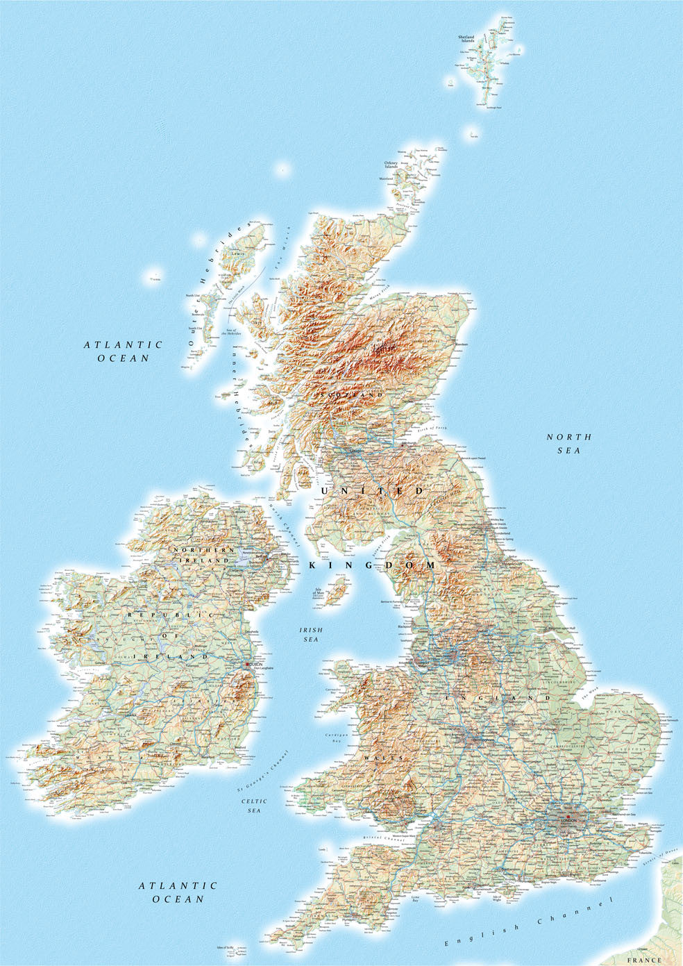
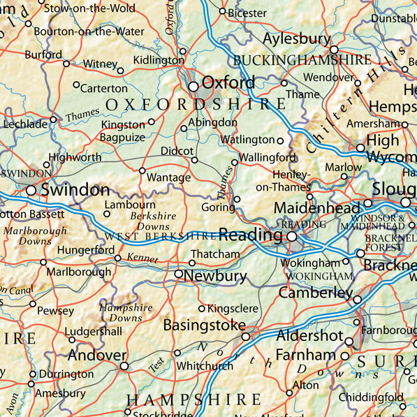
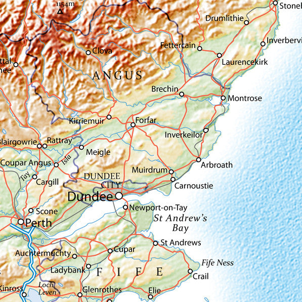
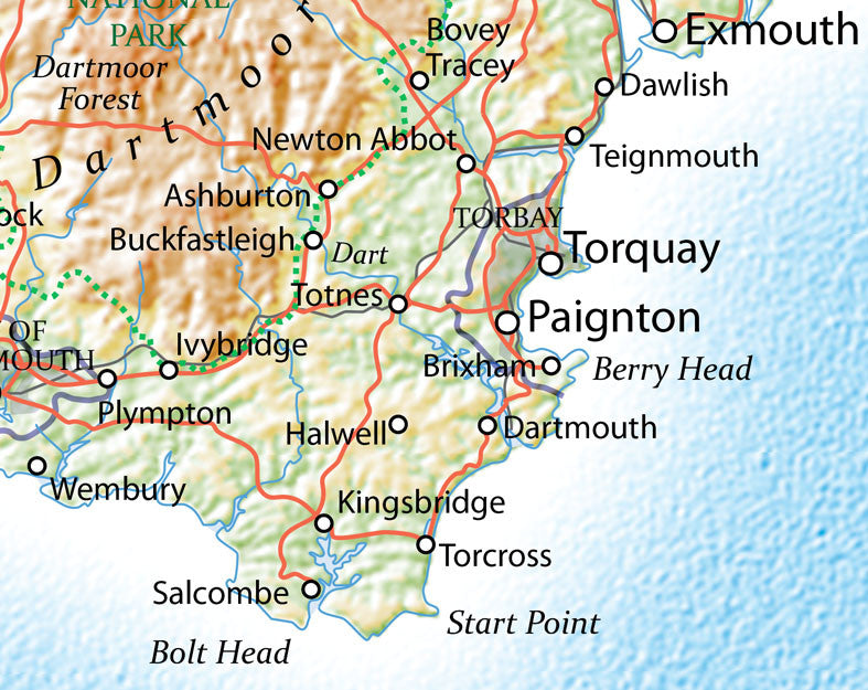
Every coastline, peak, and river of the British Isles - rendered in rich topographical detail. This large-format map captures the full sweep of the archipelago: England, Scotland, Wales, Northern Ireland, and the Republic of Ireland, together on one beautifully printed poster.
Ideal for home offices, studies, and living rooms, it's the kind of map you find yourself returning to, tracing routes, spotting places you've been, and discovering ones you haven't.
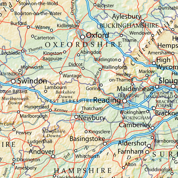
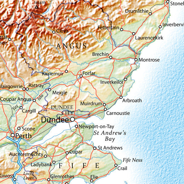
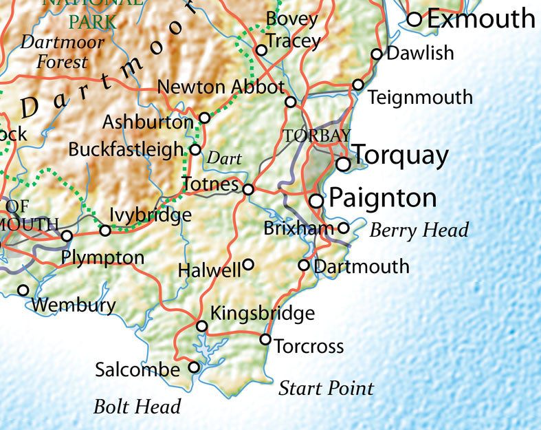
- Full topographical detail including hills, rivers, and coastlines
- Cities, towns, and major road networks clearly marked
- Covers the entire British Isles including the Republic of Ireland
- Available in A0 and B0; choose Standard or Premium finish
- Printed to order in the UK
-
Standard Posters - A good quality poster printed on durable 140gsm matte coated paper.
Premium Poster - A superb gallery quality poster printed on high grade premium 260gsm satin paper.
- A1 (841mm x 594mm)
- A0 (1189mm x 841mm)
- B0 (1414mm x 999mm)
Posters are rolled and packaged in a cardboard tube.


Share this item: