Map Poster - Vintage Ordnance Survey London Town Plans
£65.00
-
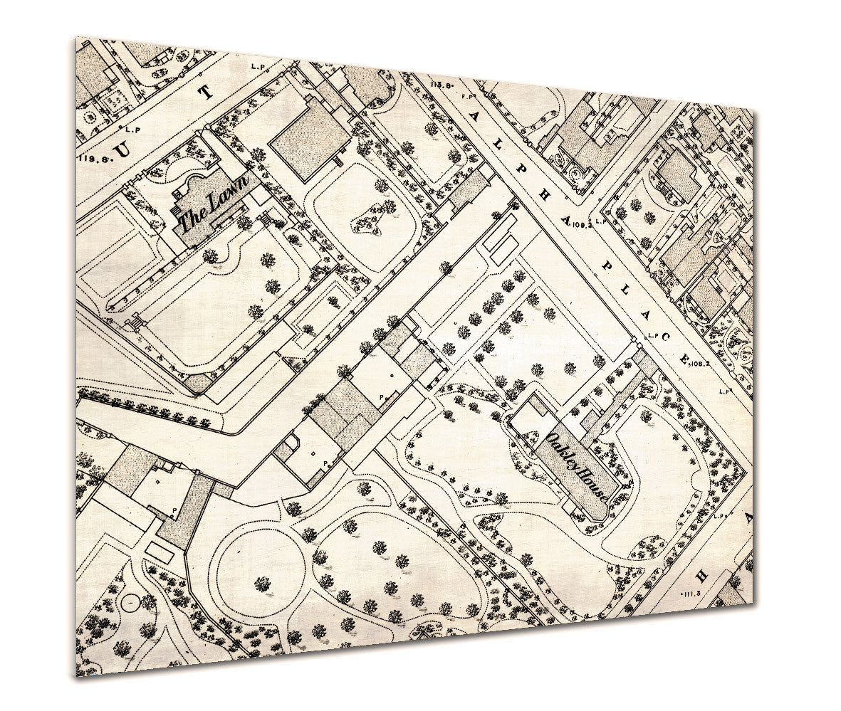
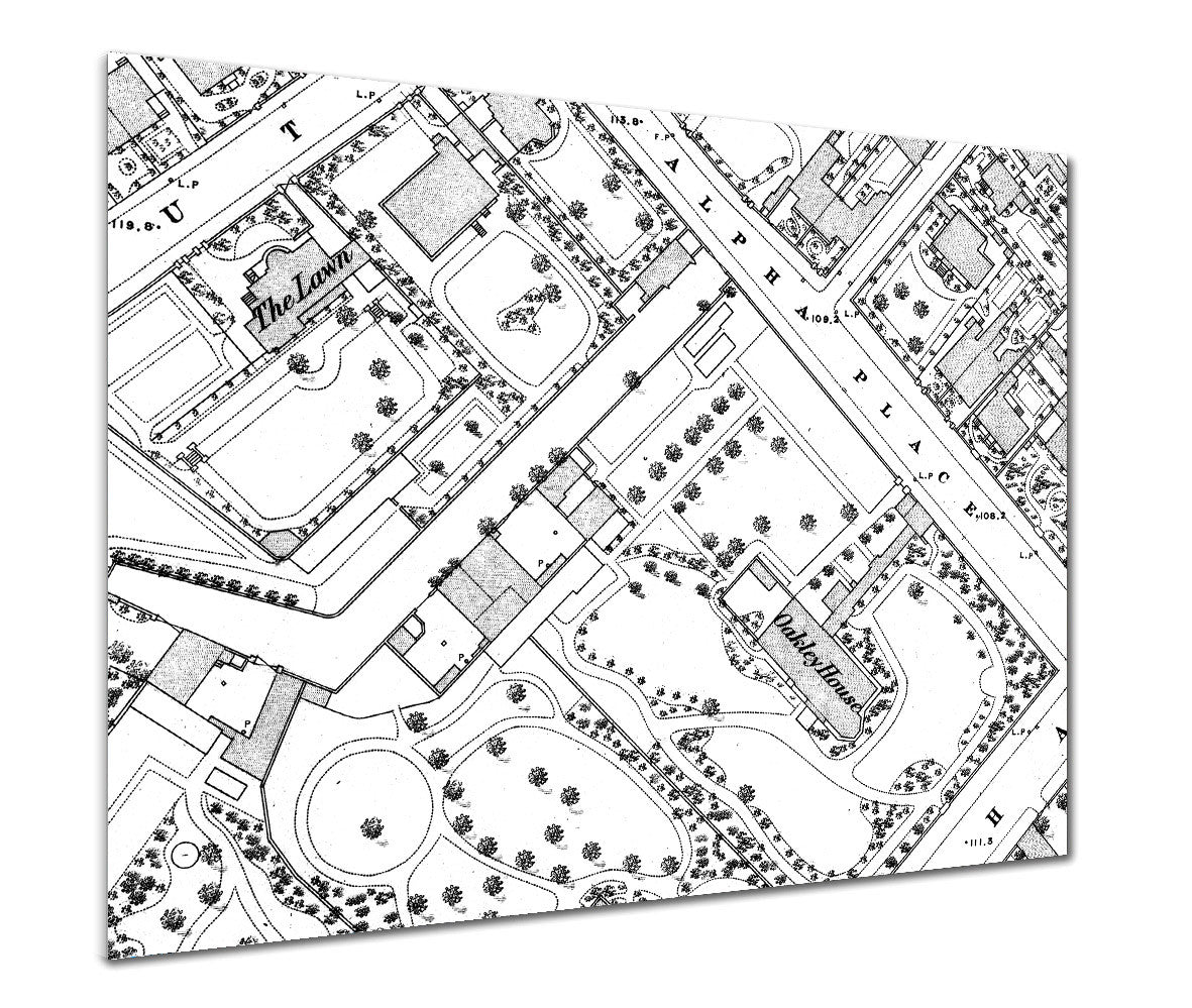
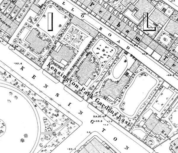
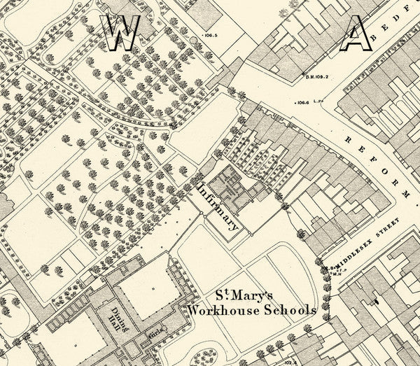
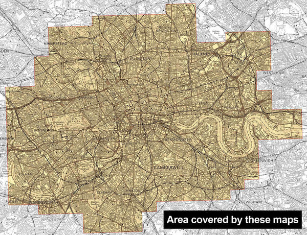
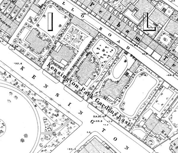
The Ordnance Survey's most detailed mapping of London from the 19th Century.
Amazing detail of streets, houses, gardens, public buildings, property boundaries and parks. Even lamp posts, water pumps and individual trees are shown on these beautiful maps.
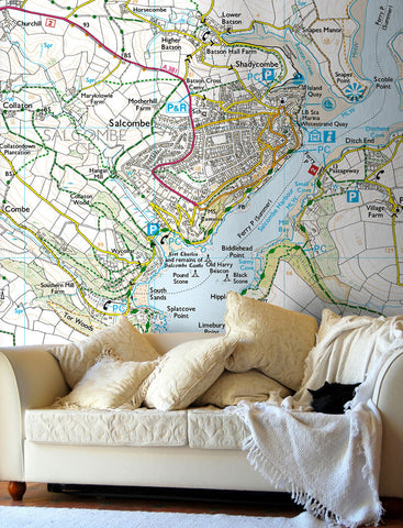
Make one of these street maps a feature of your home or workplace.
Final map print is enlarged and not to original mapping scale.
Type in the postcode (London) for the centre of your map below. Please double check this before placing your order.
- Available in true black & white or with a hint of colour to give an 'antique' feel.
- This map poster is available in three sizes.
- Also available as a framed print and wallpaper.
-
Standard Posters - A good quality poster printed on durable 140gsm matte coated paper.
Premium Poster - A superb gallery quality poster printed on high grade premium 260gsm satin paper.
- A1 (841mm x 594mm)
- A0 (1189mm x 841mm)
- B0 (1414mm x 999mm)
Posters are rolled and packaged in a cardboard tube.


Share this item: