Map Canvas - Custom Vintage Ordnance Survey Map - Victorian Street Map (optional inscription)
£80.00
-
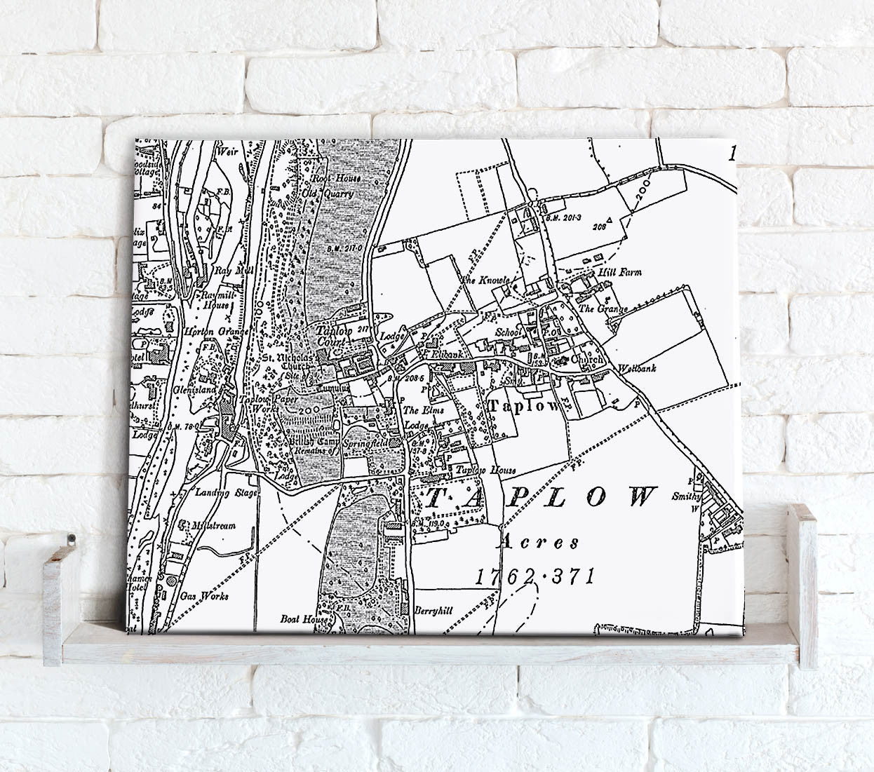
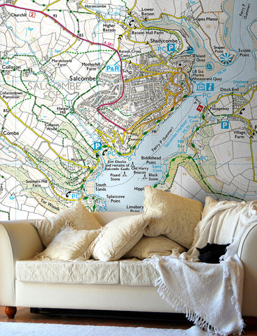
Personalise your wall space with Ordnance Survey Victorian Street Map wallpaper. This mapping was published from the mid 19th century and was the first detailed mapping of England, Scotland and Wales. At an original mapping scale of 1:10,560 it is comparable to today's street mapping.
Centre your map on a postcode of your choice in England, Scotland and Wales.
A personal and unique gift ideal for Christmas, Birthdays, Wedding, Engagement, new home, retirement, Mother's & Father's Day.
This unique style map shows fascinating detail of a favourite place, a remembered home, or a family holiday destination, a special keepsake for those treasured memories.
- Optional personal inscription over 1 or 2 lines (max 30 characters per line).
- Available as landscape or portrait
- Also available as a framed print, poster and wallpaper.
Select the size of your canvas print and type in the postcode for the centre of your map, choose from landscape or portrait orientation then type in your personal inscription to be added to the bottom of the map.
To request a digital proof of your map prior to ordering click here and follow the on screen instructions.
-
- Premium quality 330gsm poly-cotton material
- UV stable, fade resistent ink, with a satin finish
- Hand stretched over a 3.8cm wooden frame
- Supplied ready to hang
More Information:
- The wooden frame includes corner spacers that are designed to be gently tapped to re-tighten the canvas should it become loosened in transit.


Share this item: