


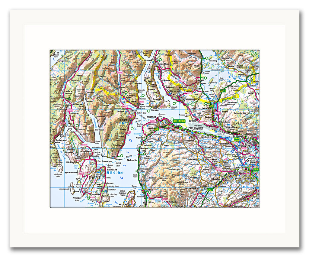
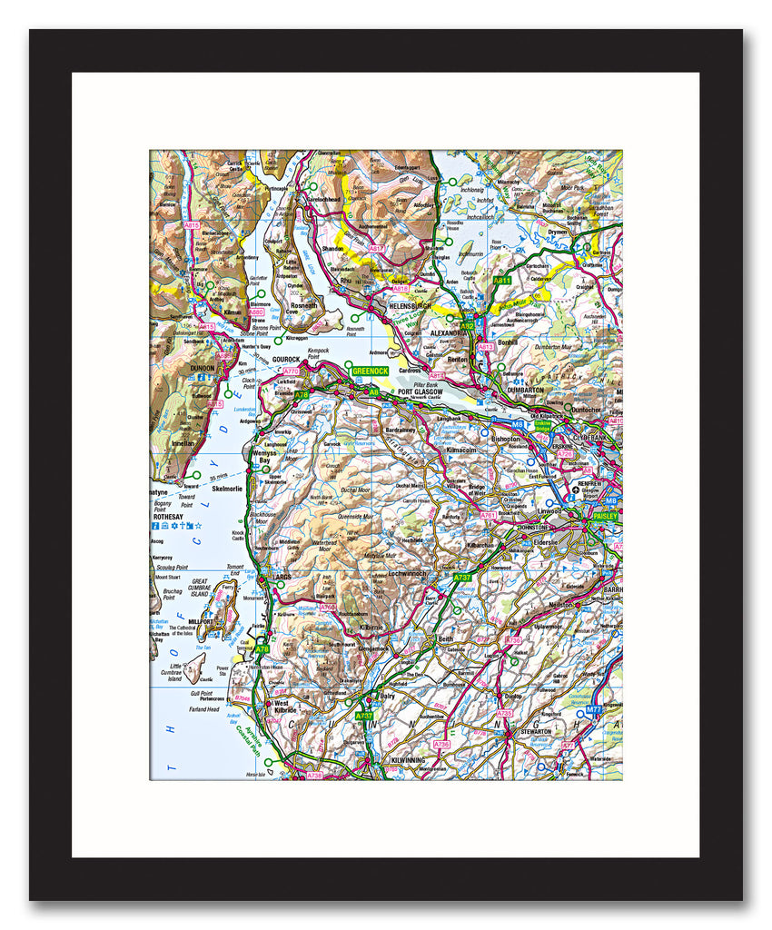
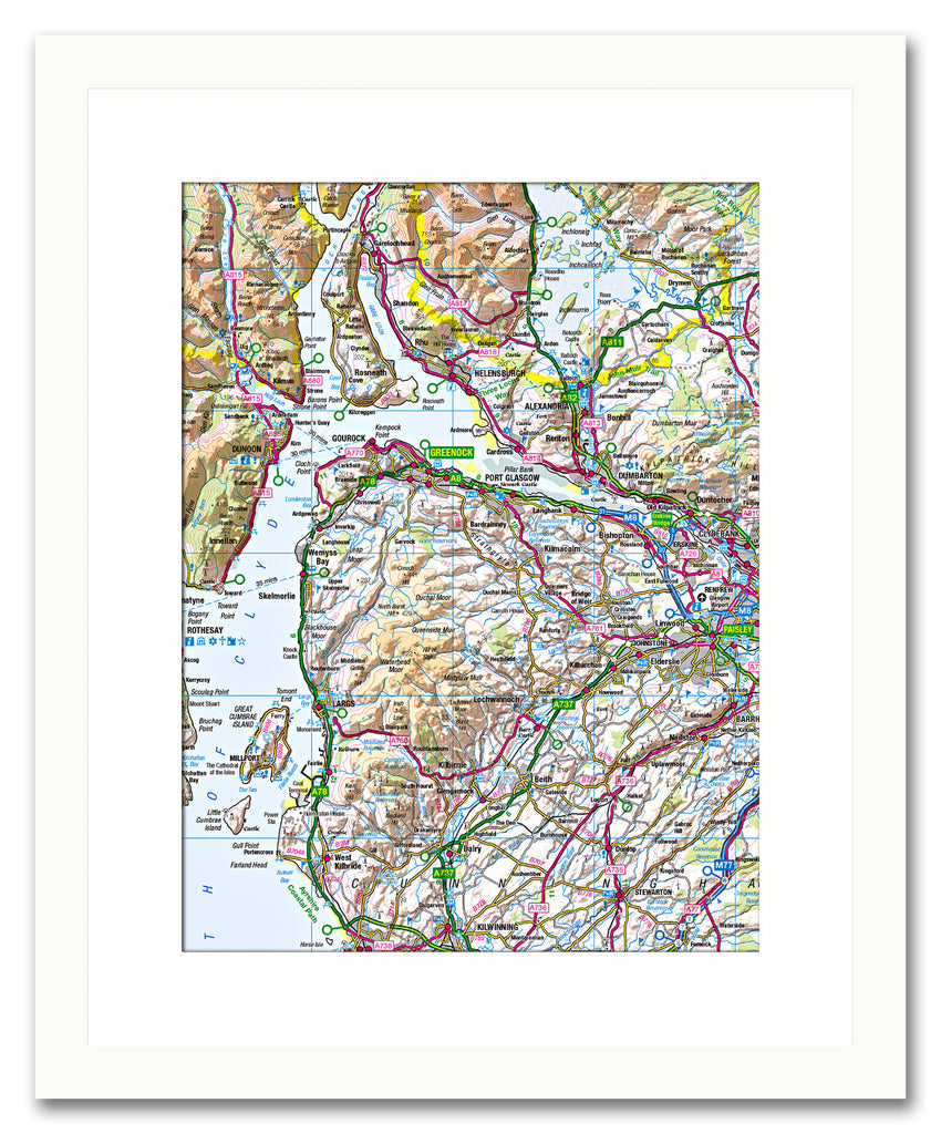
Framed Map - Custom Ordnance Survey Regional Map
£95.00
-
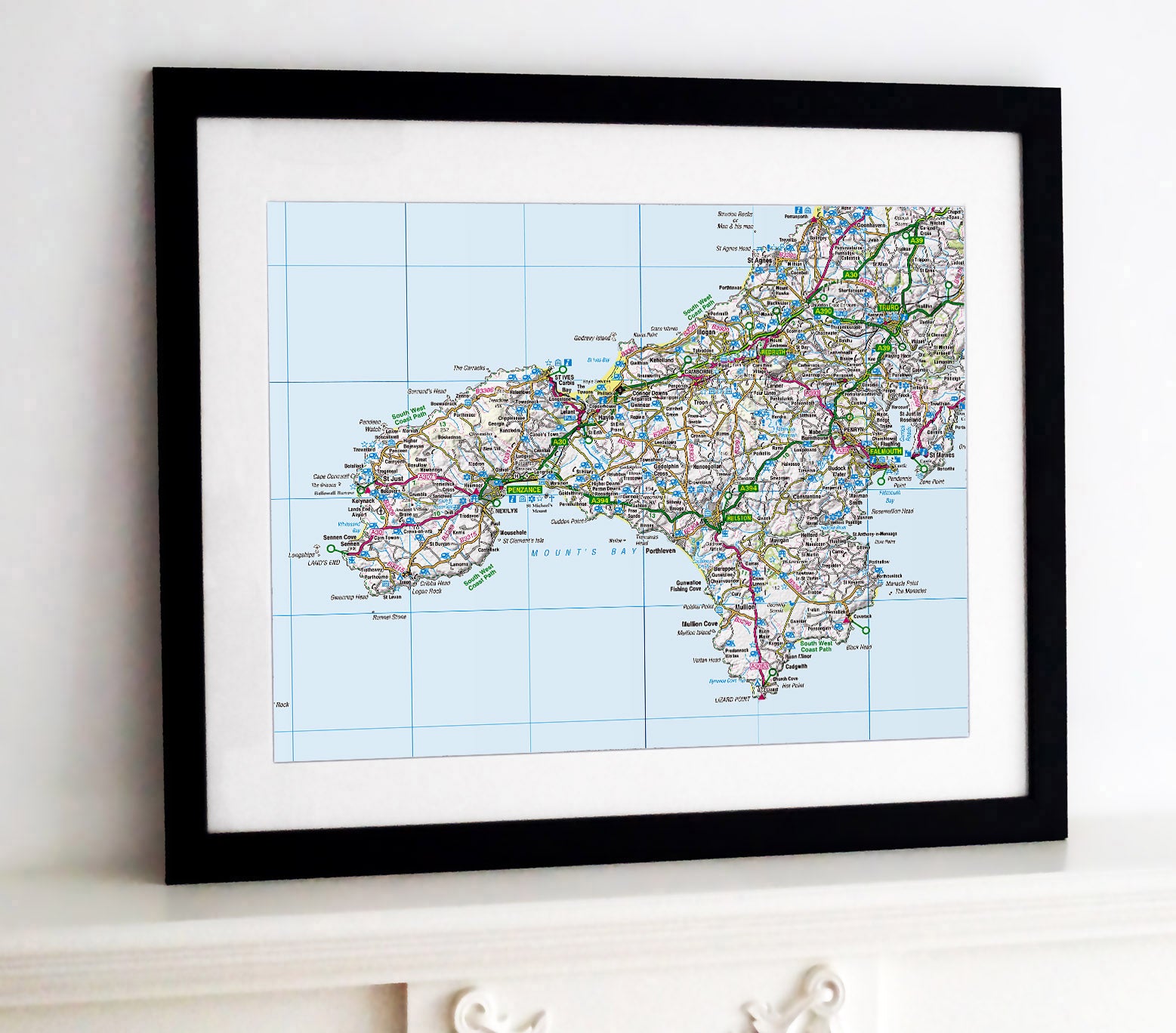
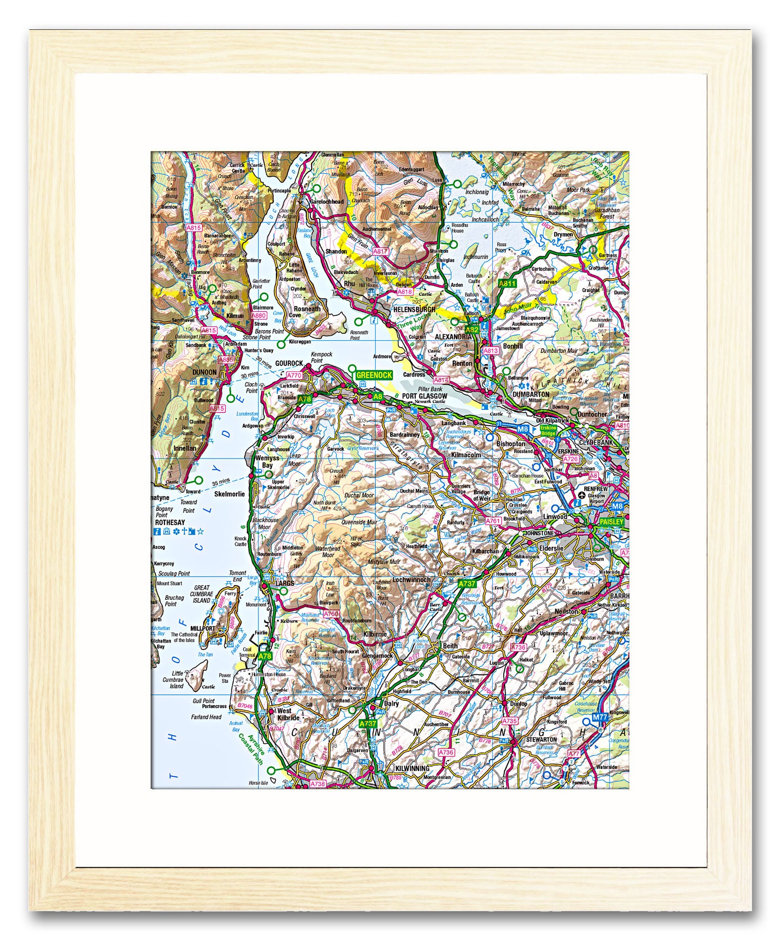
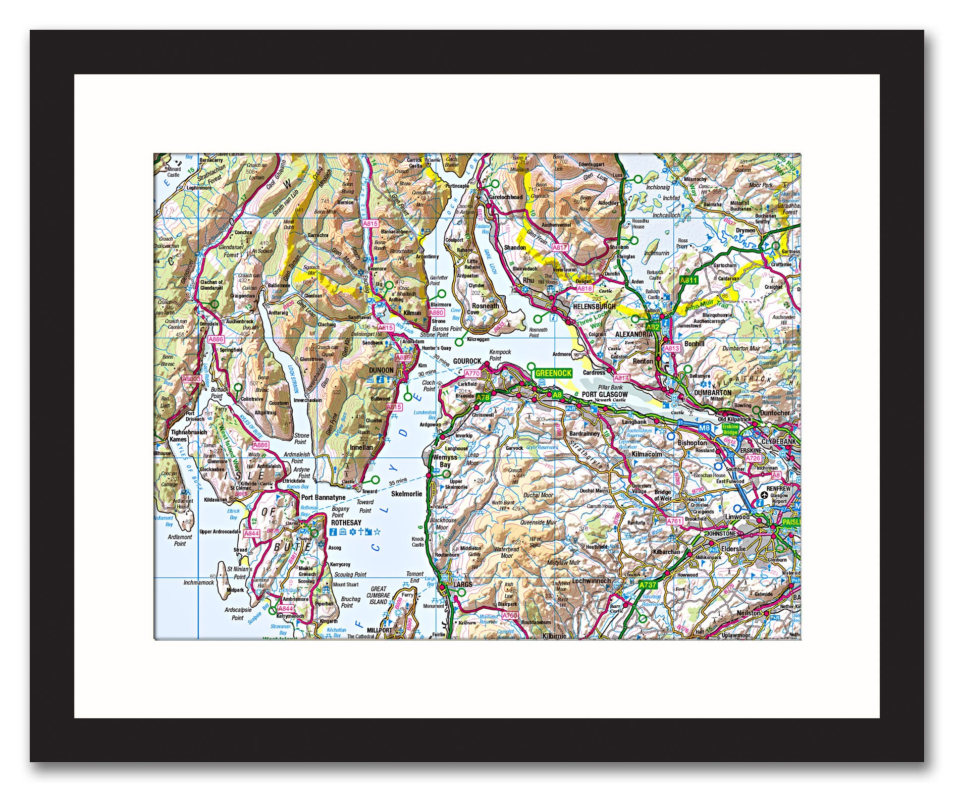
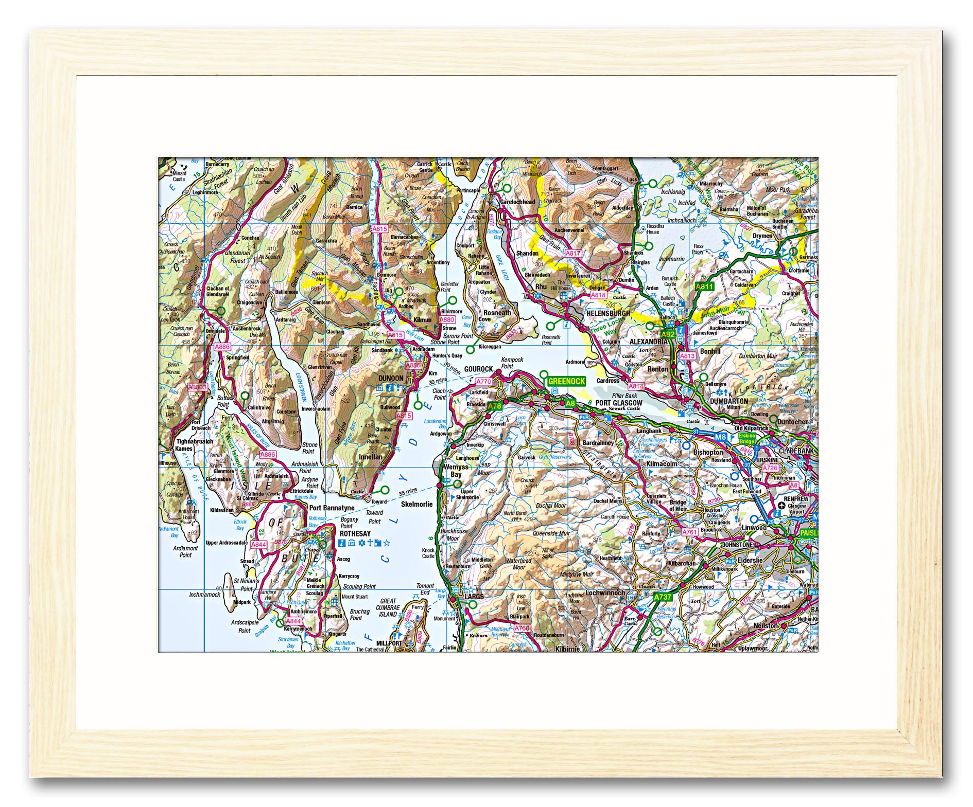
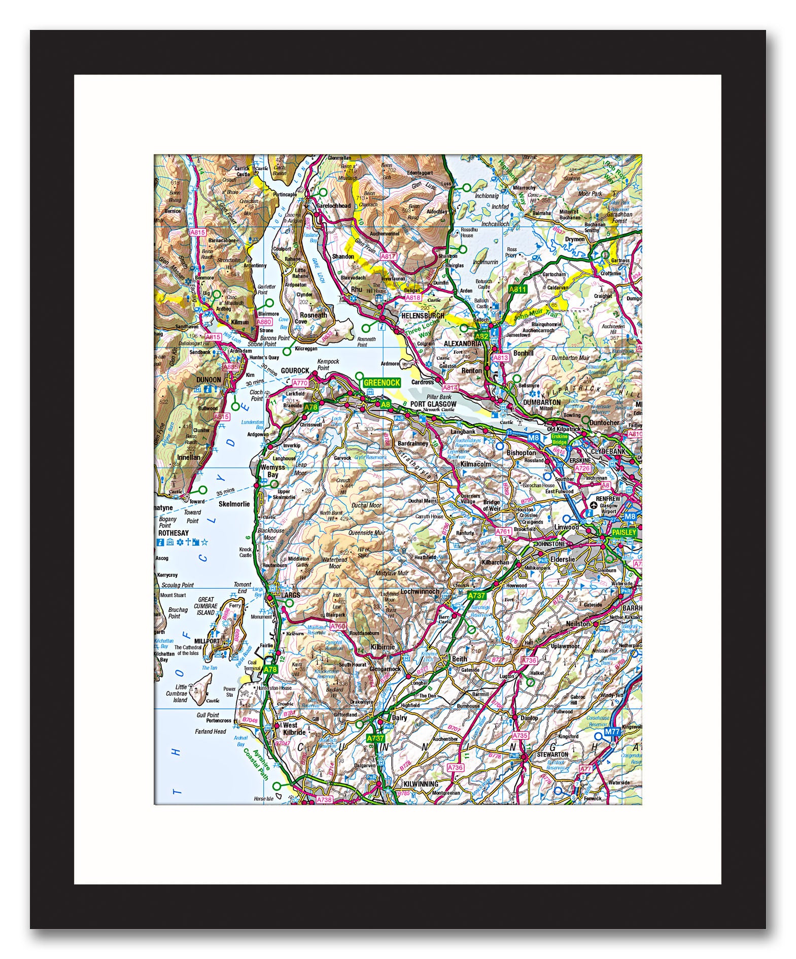
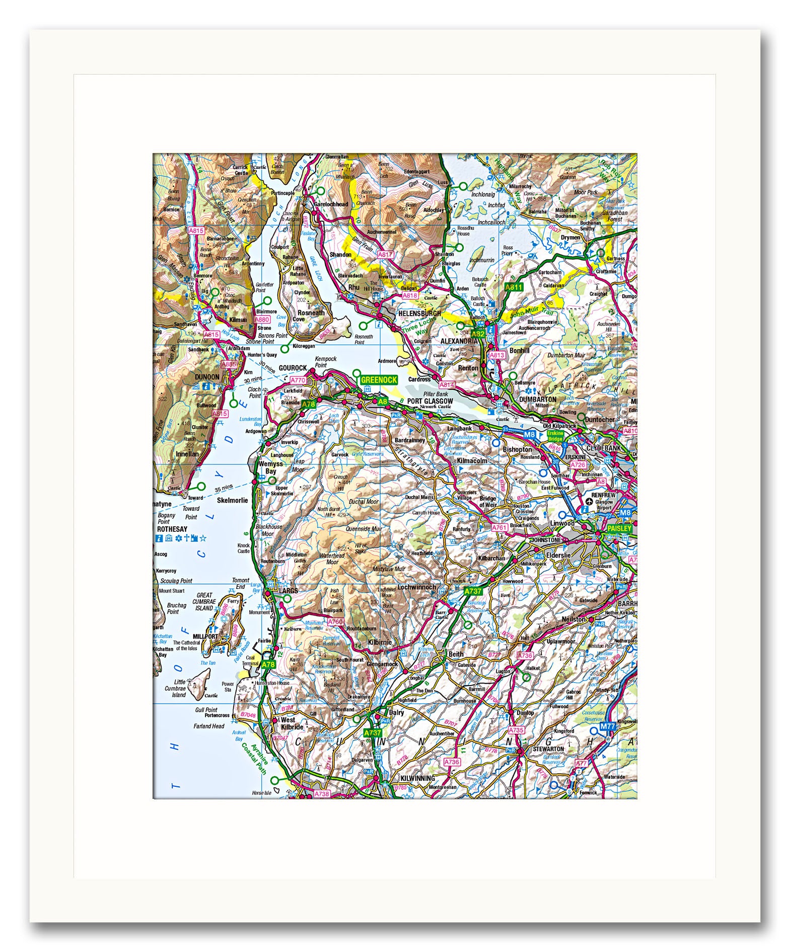
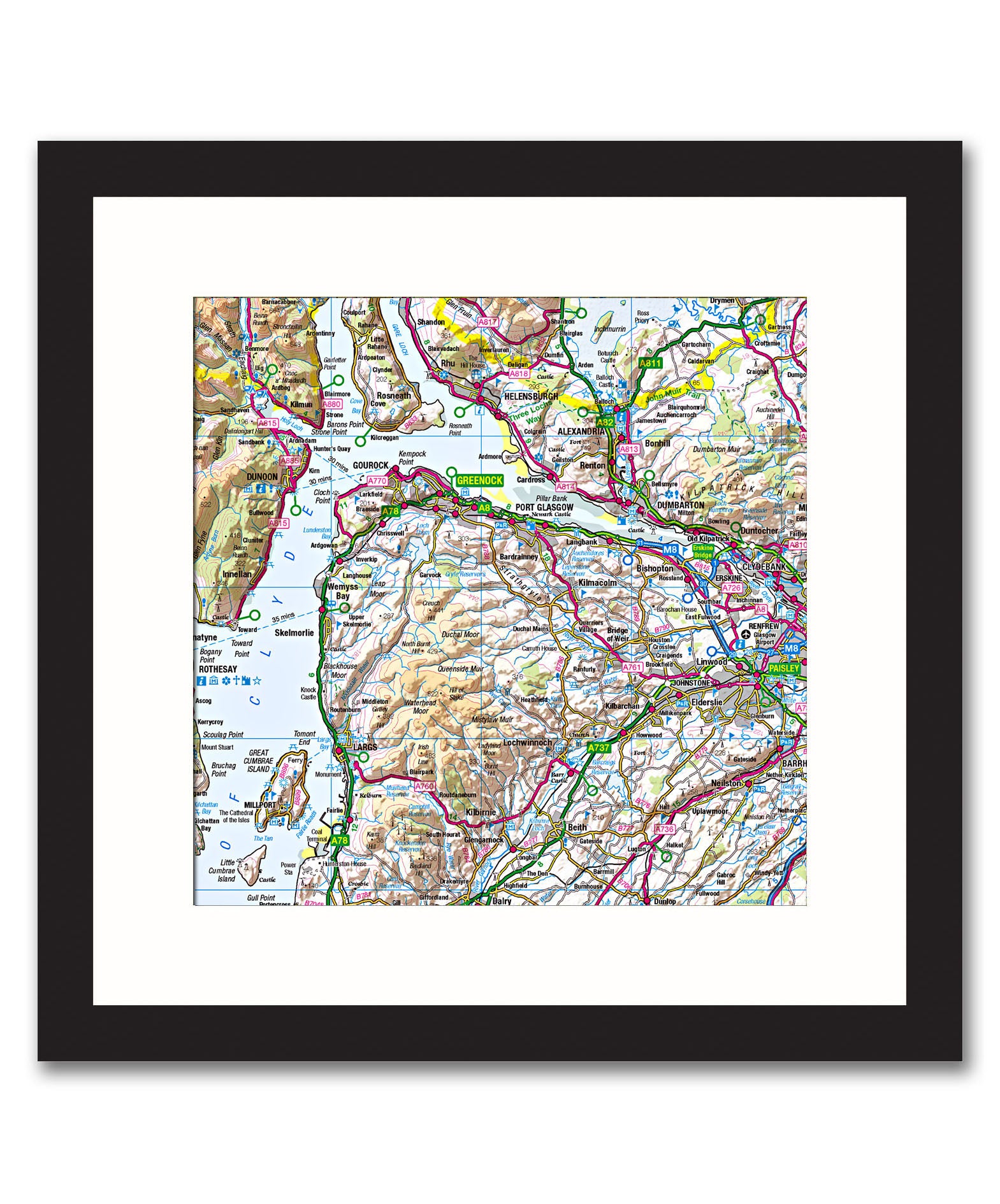
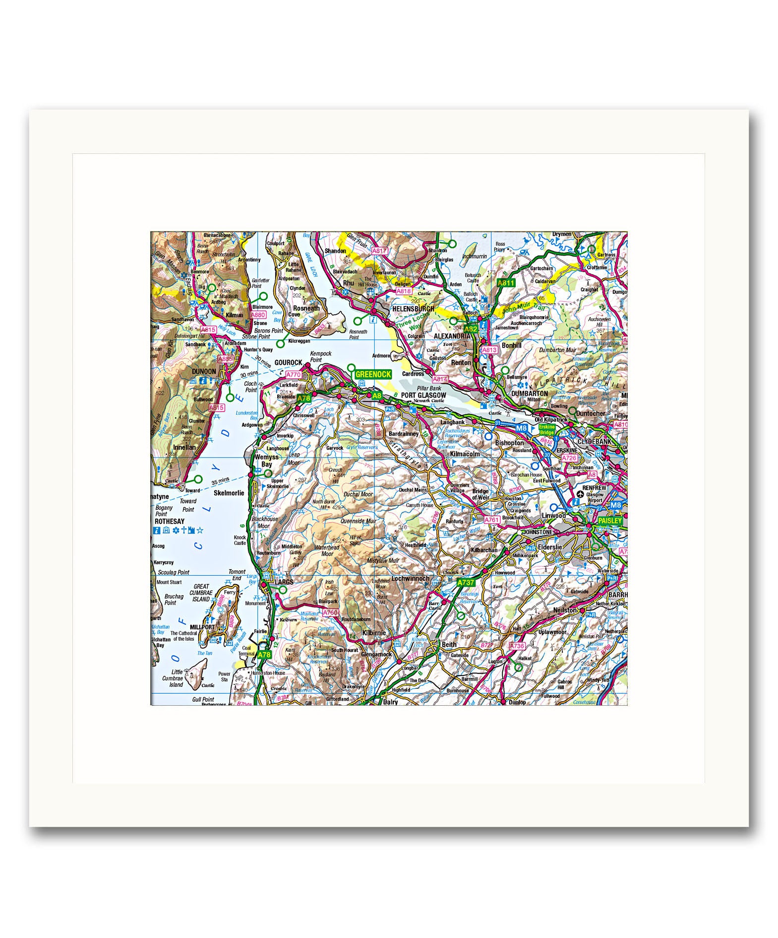
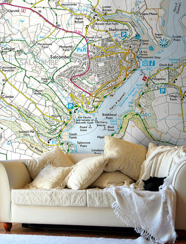
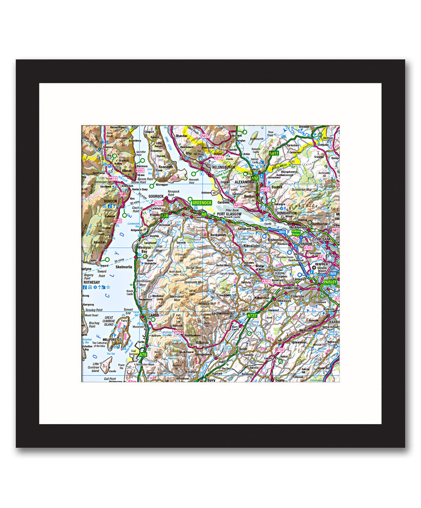
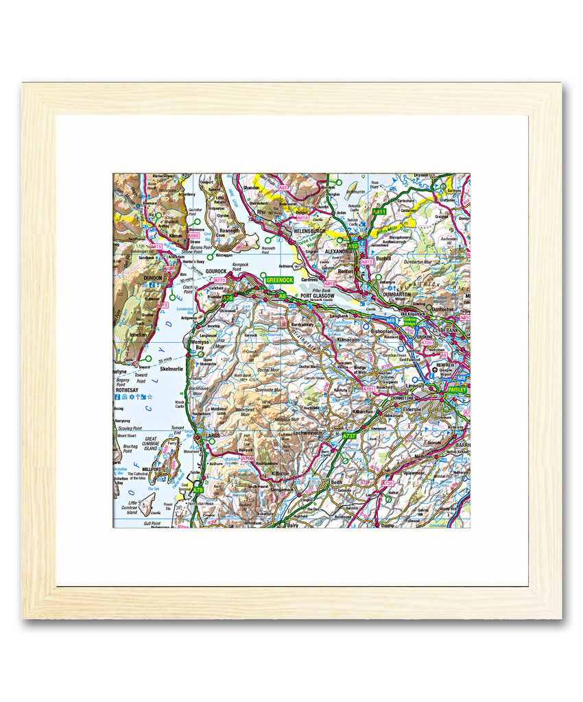
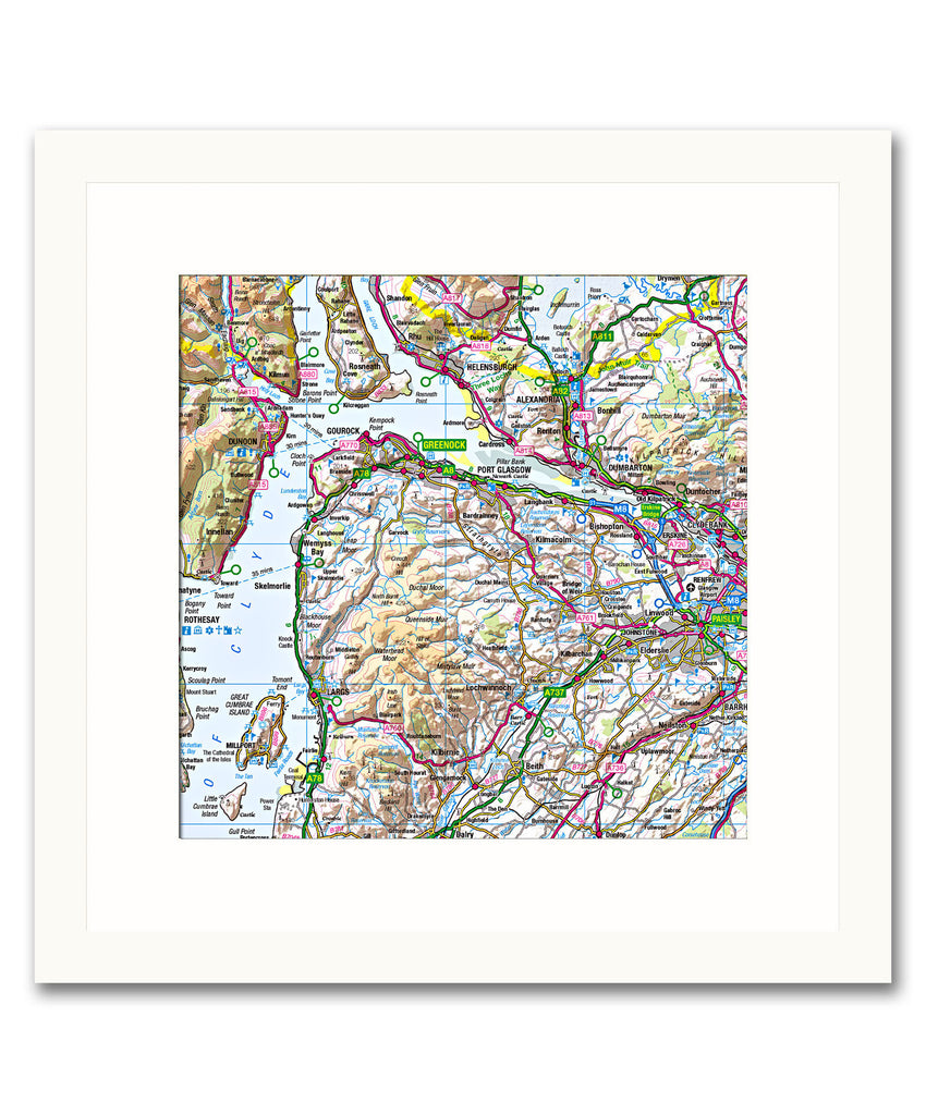
Create a unique map print from this Ordnance Survey 1:250,000 Regional map, centre the map on any location in England, Scotland or Wales using a postcode of your choice.
This road atlas style map shows a bigger picture of your chosen area, detail includes the road network with motorways, A roads and B roads clearly defined. Hills and valleys have been added with hillshading giving an enhanced view of the landscape. With tourist information also featured, this makes a great map for planning a holiday or road trip.
Printed and framed with a bevel-edged mount, this elegant made to order map makes a fantastic personalised gift for a birthday, wedding, anniversary, new home or any special occasion.
NB. The images shown with these products are indicative only. Please see the full product description in the Frame Information page above.
- Choice of frame colour.
- Available as landscape, portrait or square.
- This map is printed at a scale of 1:250,000, please contact us if you require a different scale.
- Also available as a canvas print.
- Choice of frame sizes (see approx sizes below).
To request a digital proof of your map prior to ordering click here and follow the on screen instructions.

-
- Black, White and natural high quality wood frame. The frame has a square profile measuring 20mm (front face) by 22mm (depth from wall).
- White 1.4mm mount - ‘conservation’ grade, FSC certified, 100% acid free, and will not discolour or fade with age.
- Acrylic Plexiglass; providing increased UV protection and reduced glare.
- Maps are printed using Enhanced Matte Art (EMA) substrate, a premium-quality 200gsm heavyweight paper with a gently textured surface.


Share this item: