


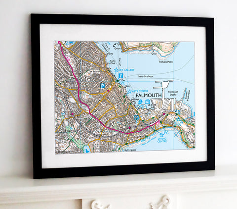
Framed Nautical Chart - Admiralty Chart 2631 - Portsmouth Harbour
£265.00
-
Admiralty Chart - 2631, showing the Portsmouth Harbour. A fantastic gift for anyone with an interest in the UK's coastal waters.
Frame size: 70cm x 100cm (28” x 40”)
Map image size: 59cm x 89cm- Choice of frame colour.
- Also available as canvas prints and posters.
-
For Wallpaper, Glass Splashbacks and Ceramic Tiles.
Contact Us with your requirements. - P&P £18.99
NB. The images shown with these products are indicative only. Please see the full product description in the Frame Information page above.
For decorative purposes only. not for navigation.
-
- Black, White and natural high quality wood frame. The frame has a square profile measuring 20mm (front face) by 22mm (depth from wall).
- White 1.4mm mount - ‘conservation’ grade, FSC certified, 100% acid free, and will not discolour or fade with age.
- Acrylic Plexiglass; providing increased UV protection and reduced glare.
- Maps are printed using Enhanced Matte Art (EMA) substrate, a premium-quality 200gsm heavyweight paper with a gently textured surface.


Share this item: