


Framed Map - Custom Ordnance Survey Explorer Map with Hillshading
£100.00
-
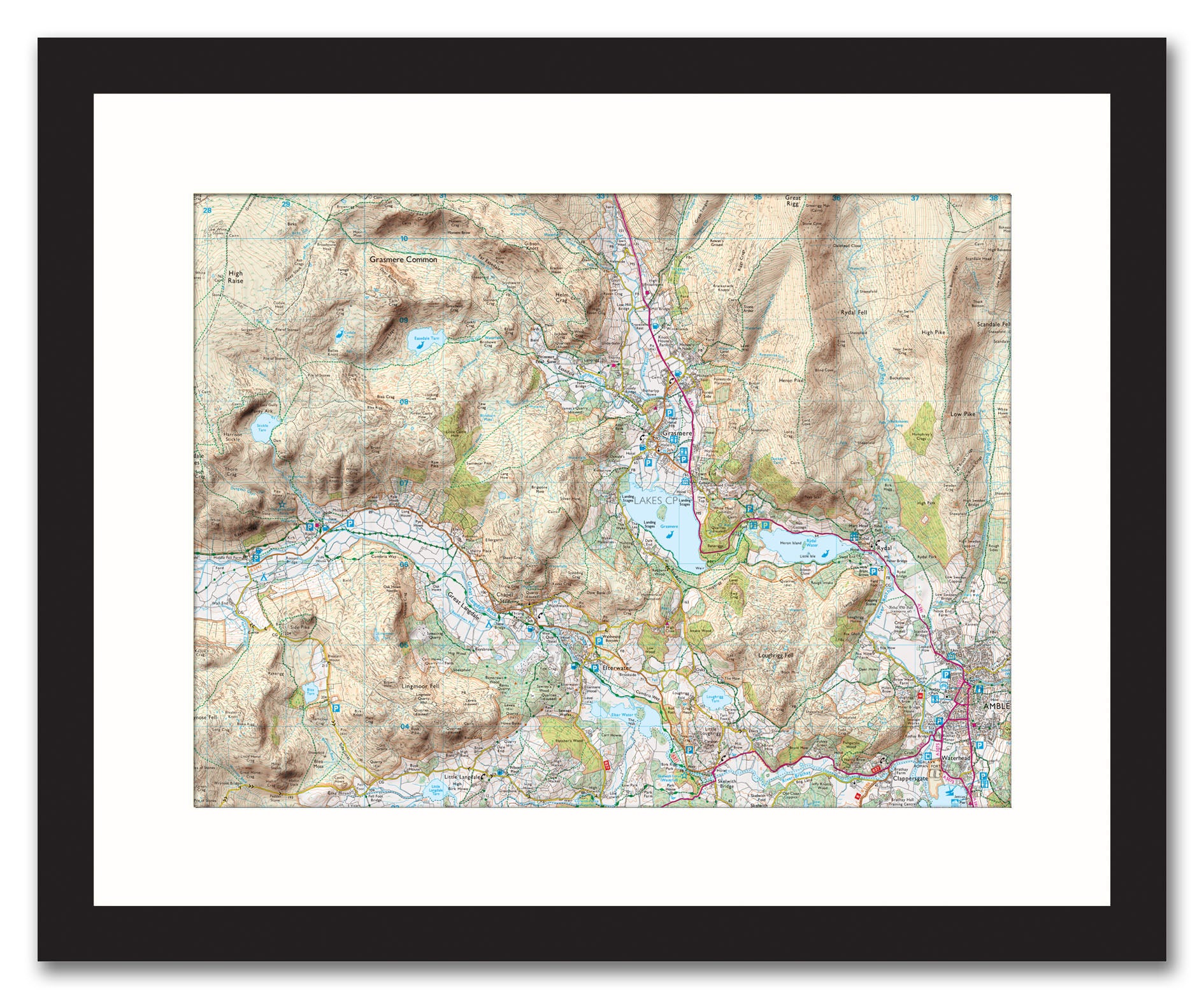
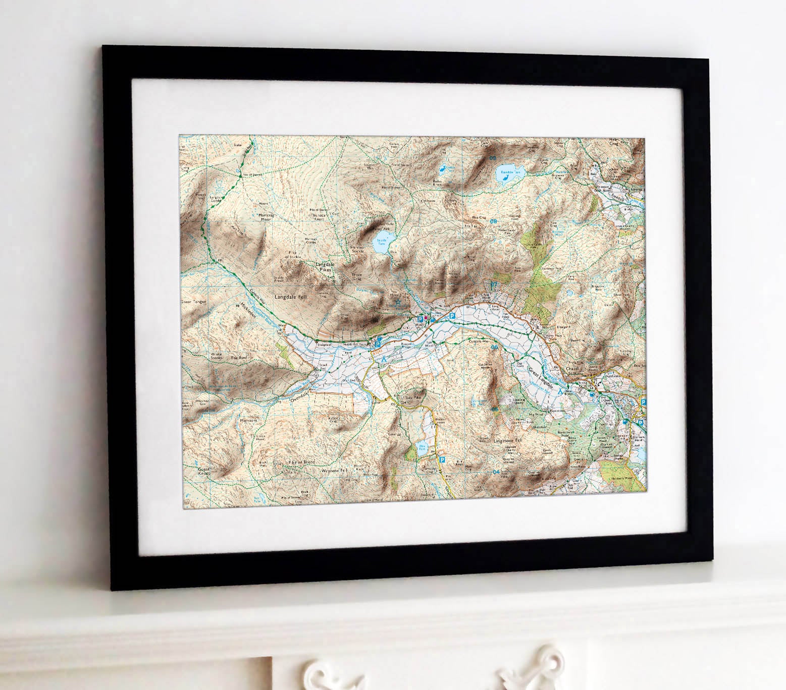
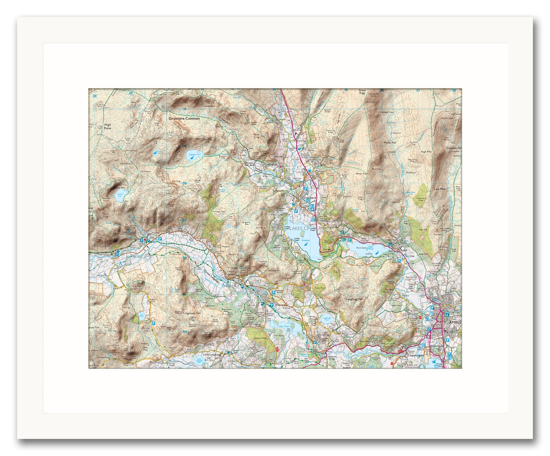
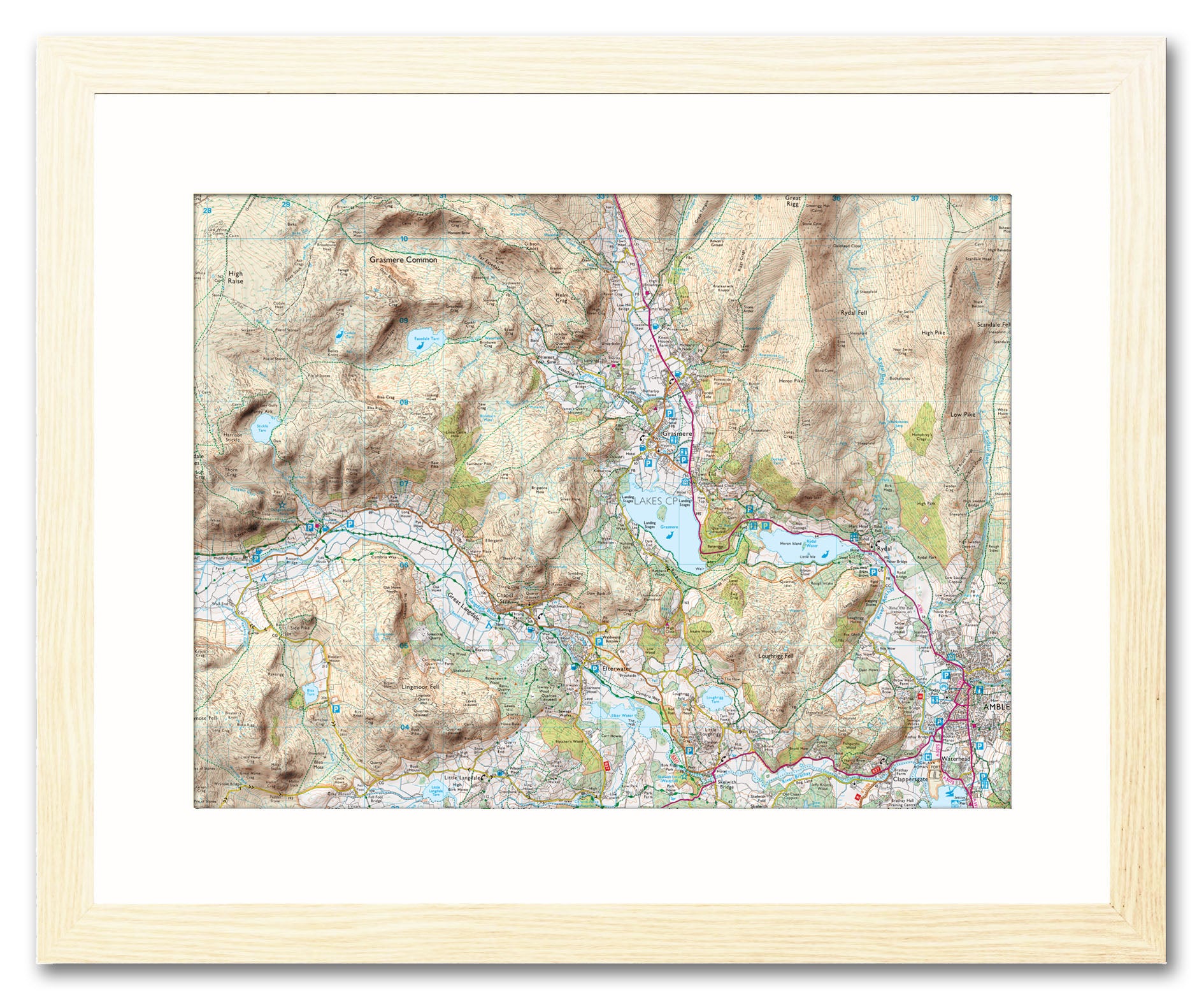
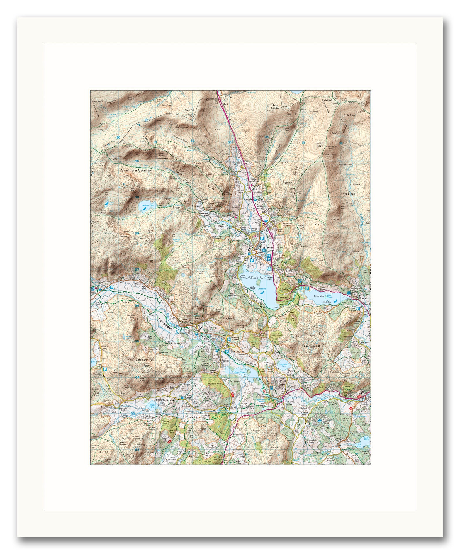
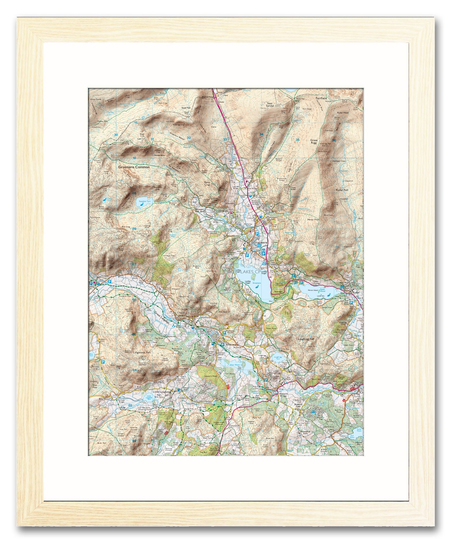
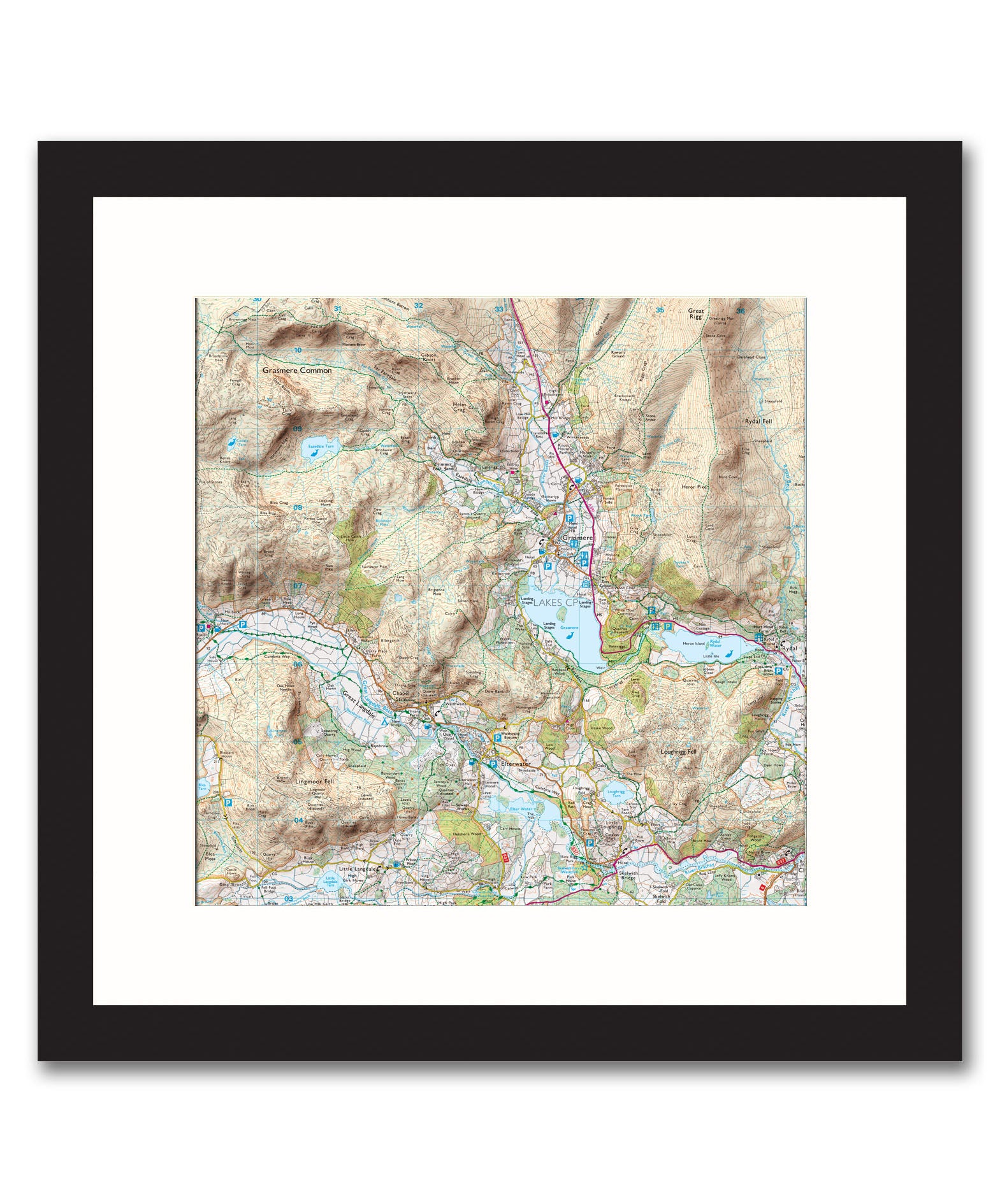
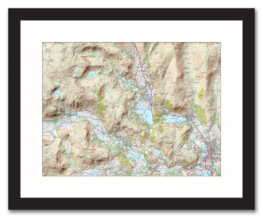
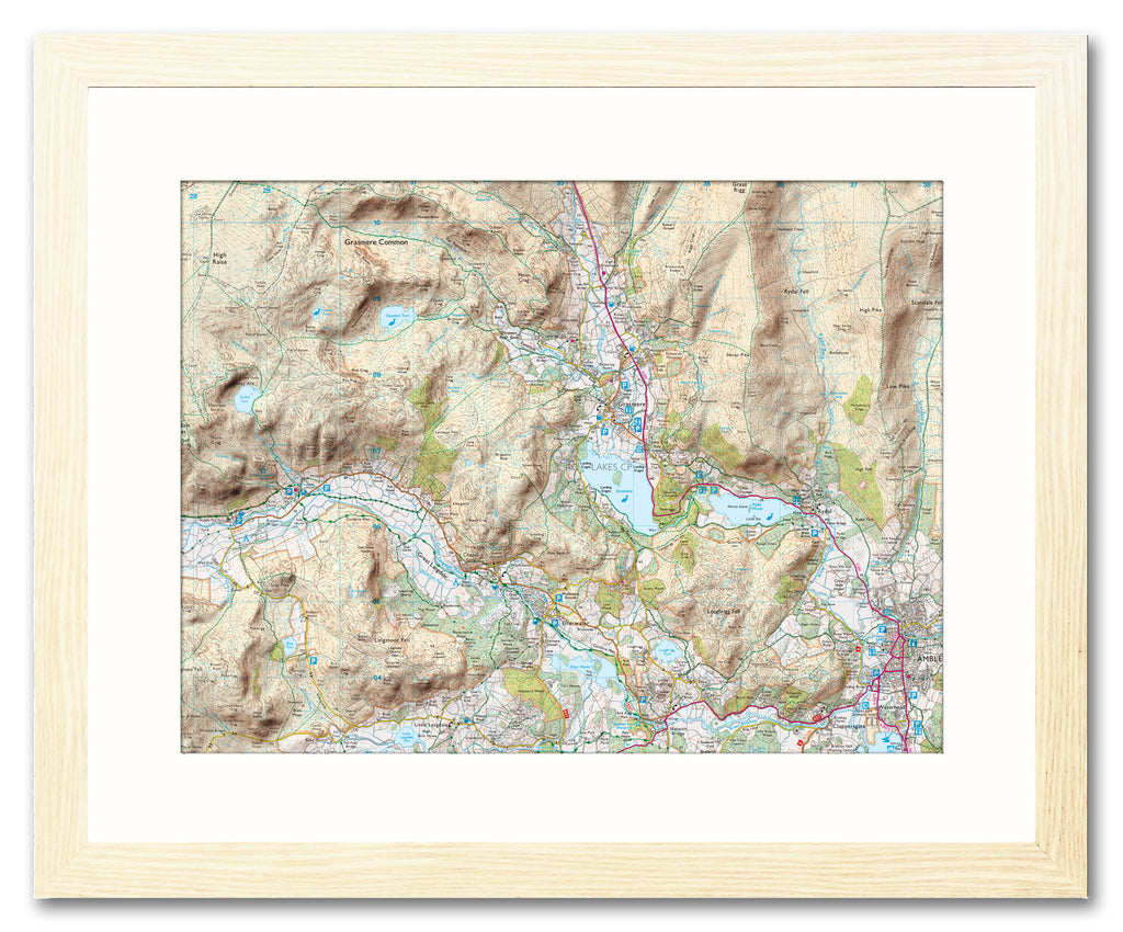
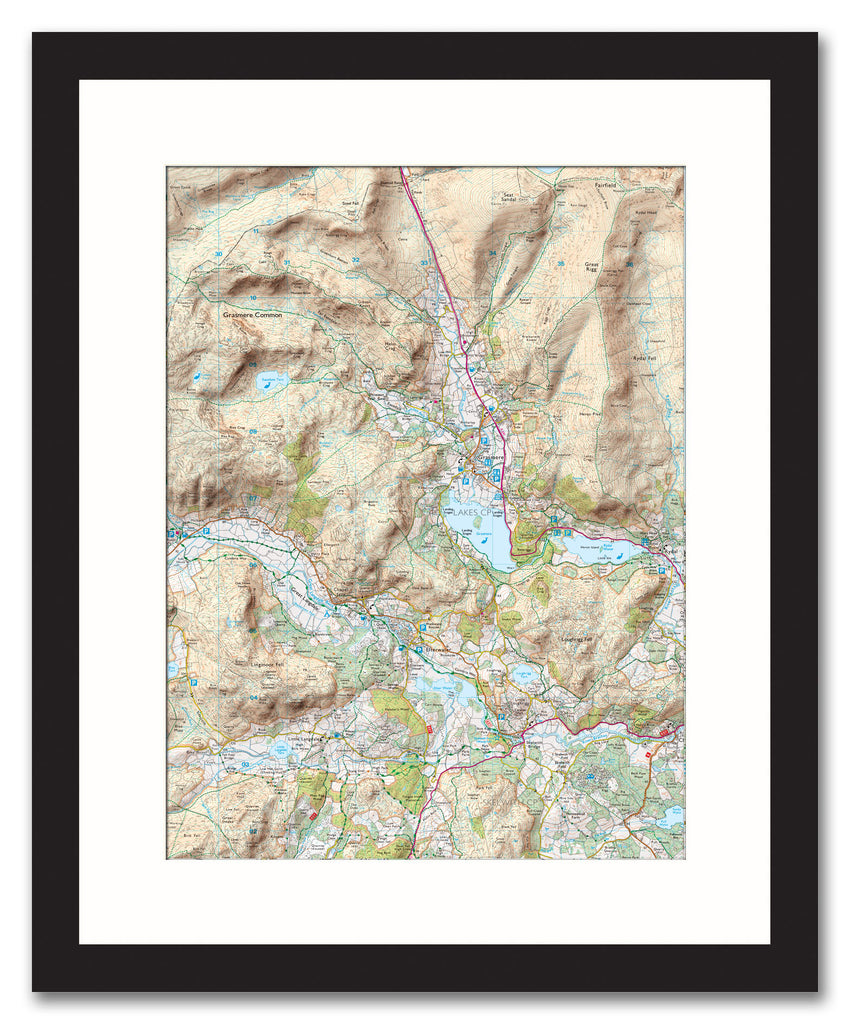
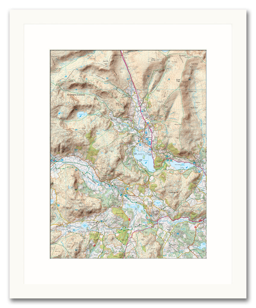
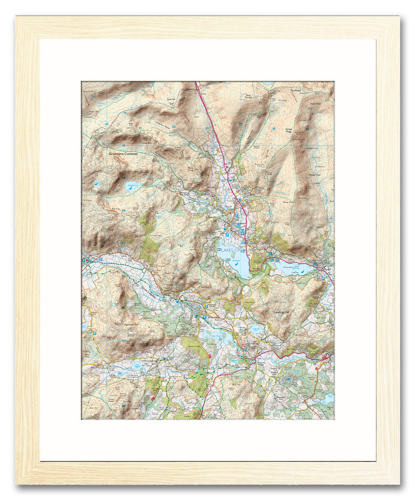
Create a unique map print from this Ordnance Survey 1:25,000 Explorer map with added hillshading, centre the map on any location in England, Scotland or Wales using a postcode of your choice.
This local style map shows great detail including buildings, places of interest, footpaths and bridleways. We've added hillshading to accentuate the terrain and give the map a feeling of depth, a useful addition so anyone walking or cycling can instantly pick out the hills. These unique maps are individually crafted by our Cartographers by blending our digitally generated hillshading with Ordnance Survey mapping.
Printed and framed with a bevel-edged mount, this elegant made to order map makes a fantastic personalised gift for a Birthday, wedding, anniversary, new home or any special occasion.
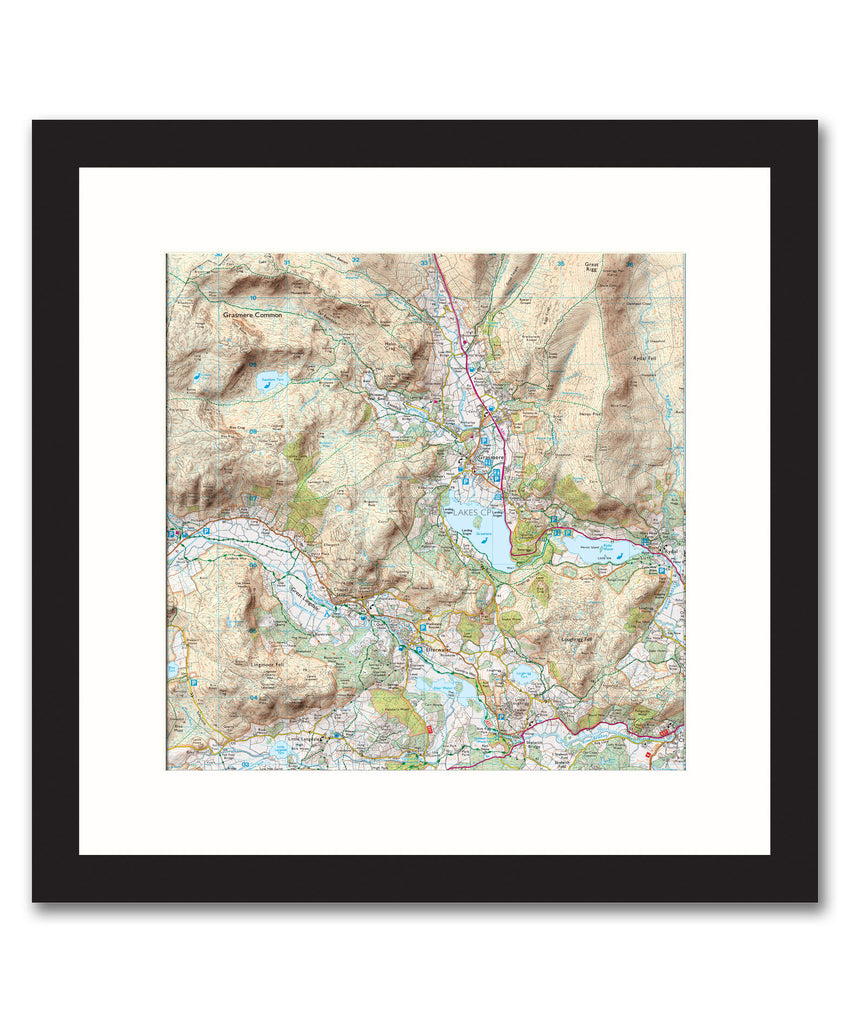
NB. The images shown with these products are indicative only. Please see the full product description in the Frame Information page above.
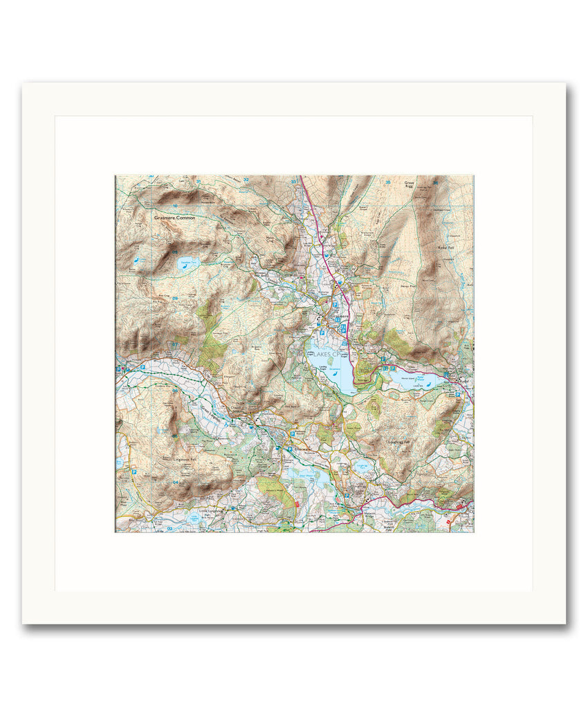
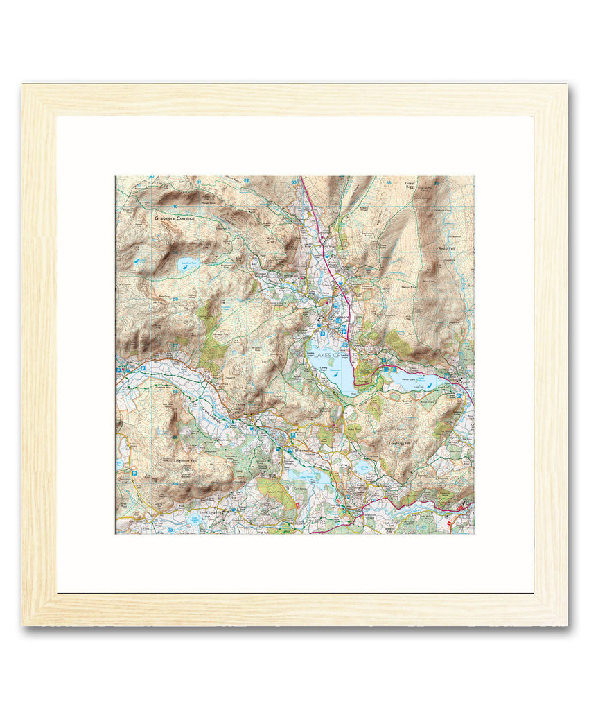
- Choice of frame colour.
- Available as landscape, portrait or square
- This map is printed at a scale of 1:25,000, please contact us if you require a different scale.
- Also available as a canvas print.
- Choice of frame sizes (see approx sizes below).
To request a digital proof of your map prior to ordering click here and follow the on screen instructions.
-
- Black, White and natural high quality wood frame. The frame has a square profile measuring 20mm (front face) by 22mm (depth from wall).
- White 1.4mm mount - ‘conservation’ grade, FSC certified, 100% acid free, and will not discolour or fade with age.
- Acrylic Plexiglass; providing increased UV protection and reduced glare.
- Maps are printed using Enhanced Matte Art (EMA) substrate, a premium-quality 200gsm heavyweight paper with a gently textured surface.


Share this item: