
Framed Map - Custom Vintage Ordnance Survey Map - London Town Plans
£90.00
-
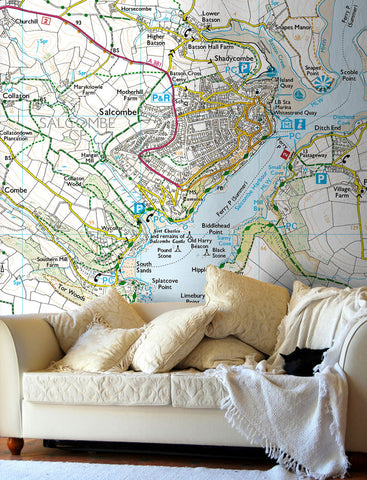
Create a unique map print from Ordnance Survey's most detailed mapping of London from the 19th Century. Centre the map on a location using a postcode of your choice.
Amazing detail of streets, houses, gardens, public buildings, property boundaries and parks. Even lamp posts, water pumps and individual trees are shown on these beautiful maps.
Printed and framed with a bevel-edged mount, this elegant map allows a nostalgic look at the past and makes a fantastic gift for Christmas, Birthdays, anniversaries, retirement or any special occasion.
- Choice of frame colour.
- Available as landscape, portrait or square
- Choice of frame sizes (see approx sizes below).
To request a digital proof of your map prior to ordering click here and follow the on screen instructions.

-
- Black, White and natural high quality wood frame. The frame has a square profile measuring 20mm (front face) by 22mm (depth from wall).
- White 1.4mm mount - ‘conservation’ grade, FSC certified, 100% acid free, and will not discolour or fade with age.
- Acrylic Plexiglass; providing increased UV protection and reduced glare.
- Maps are printed using Enhanced Matte Art (EMA) substrate, a premium-quality 200gsm heavyweight paper with a gently textured surface.


Share this item: