Map Poster - Custom Vintage Ordnance Survey Map 1906-1913
£65.00
-
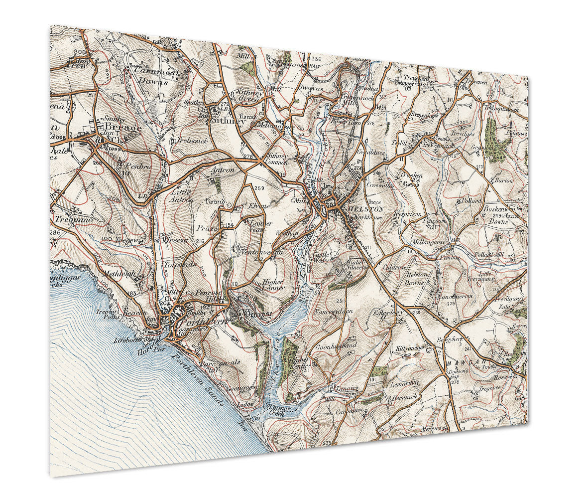
Personalise your poster map with Ordnance Survey One-inch Third Edition mapping. Centre on a postcode of your choice in England or Wales. This classic style map shows fascinating detail of your favourite area.
The Ordnance Survey's colour mapping series was published between 1906 and 1913, at the start of the century during the Edwardian era when Britain was an industrial nation.
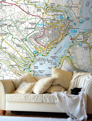
Make one of these subtly coloured maps a feature of your home or workplace. Provide the postcode of your choice in England or Wales on which to centre your map.
Type in the postcode for the centre of your map below. Please double check this before placing your order.
- This map poster is available in three sizes.
- Available as landscape or portrait.
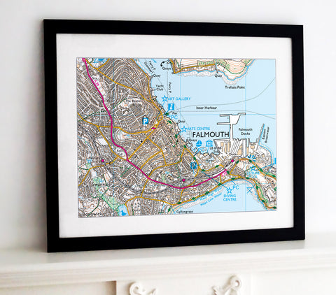
- Also available as a framed print, canvas and wallpaper.
- This map is printed at a scale of 1:50,000 please contact us if your require a different scale.
-
Standard Posters - A good quality poster printed on durable 140gsm matte coated paper.
Premium Poster - A superb gallery quality poster printed on high grade premium 260gsm satin paper.
- A1 (841mm x 594mm)
- A0 (1189mm x 841mm)
- B0 (1414mm x 999mm)
Posters are rolled and packaged in a cardboard tube.


Share this item: