


The Broads National Park - Canvas Print
£159.00
-
The Broads National Park covers over 300 square kilometres of Norfolk and Suffolk. Comprising of 7 navigable rivers and 63 broads (lakes), the area was created when Medieval peat excavations were flooded by rising sea waters.
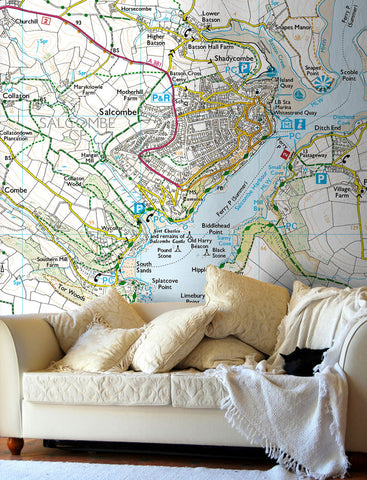
Ordnance Survey's 1:50,000 scale Landranger mapping has been used to create this stunning canvas print. The outline of the Park is highlighted while the area within the Park has been colour enhanced. Hillshading has been added but mainly occurs outside of the Park Boundary.
A great wall map for anyone who loves the outdoors, ideal for planning walking routes, cycling trips and holidays.
Canvas Size: 34" x 36" (86cm x 91cm)
P&P: £9.99
- Premium quality 330gsm poly-cotton material
- UV stable, fade resistent ink, with a satin finish
- Hand stretched over a 3.8cm wooden frame
- Supplied ready to hang
More Information:
- The wooden frame includes corner spacers that are designed to be gently tapped to re-tighten the canvas should it become loosened in transit.


Share this item: