The Broads National Park - Map Poster
£100.00
The Broads National Park covers over 300 square kilometres of Norfolk and Suffolk. Comprising of 7 navigable rivers and 63 broads (lakes), the area was created when Medieval peat excavations were flooded by rising sea waters.
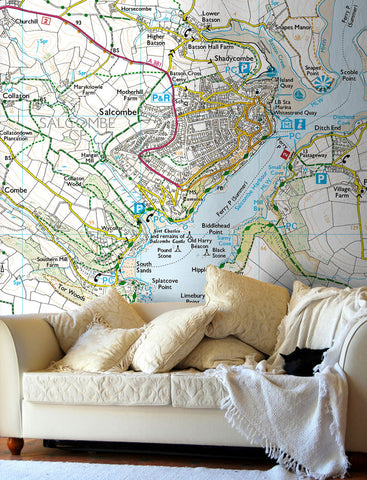
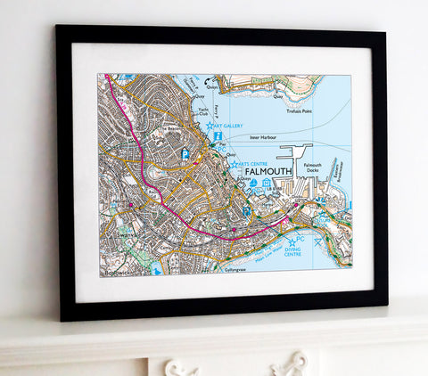
Ordnance Survey's Landranger map has been used to create this stunning poster print with hillshading added and the outline of the park highlighted.
A great wall map for anyone who loves the outdoors, ideal for planning walking routes, cycling trips and holidays.
A superb gallery quality poster printed on high grade premium 190gsm satin paper, lasts up to 80 years.
Poster Size: 50" x 66" (127cm x 168cm)
Posters are rolled and packaged in a cardboard tube.
P&P: £15.99


Share this item: