


Map Poster - GB Regional Map - The Midlands
£70.00
-
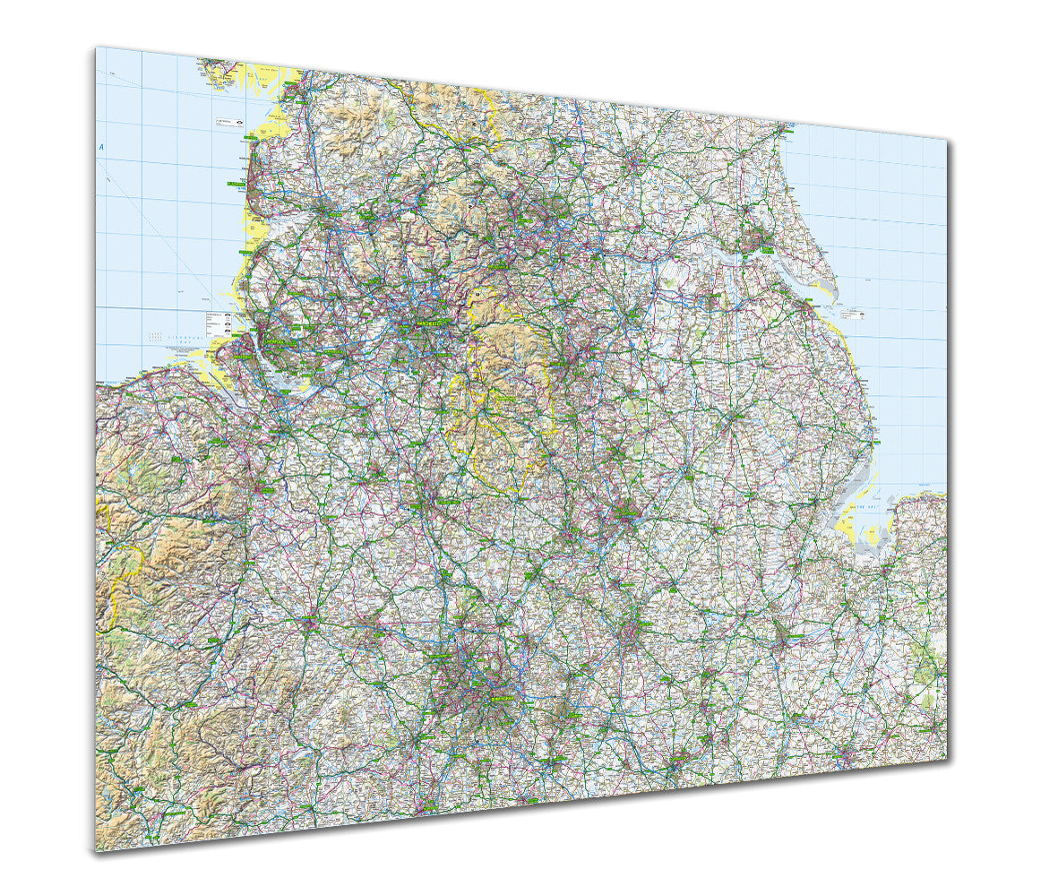
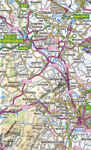
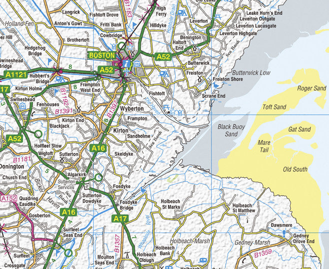
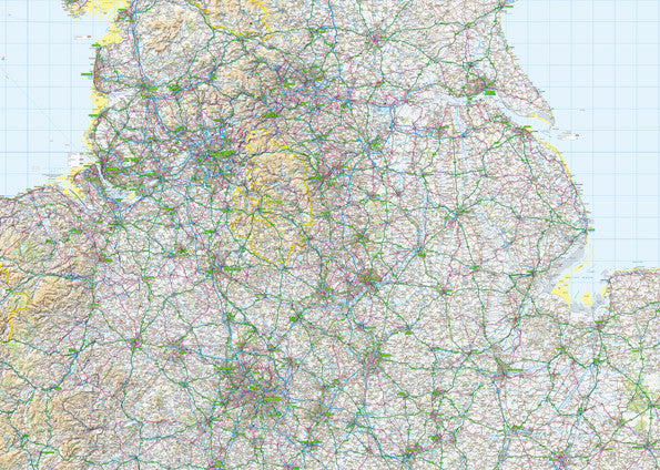
Ordnance Survey Regional Map of The Midlands. This road atlas style map displays the main road and rail network, drainage, cities, and towns. Contours and our unique hillshading show the high and low areas across the region.
This map is available in two sizes.
This style of mapping is also available as a postcode centred map to cover your area of choice.
Scale 1:250,000.
-
Standard Posters - A good quality poster printed on durable 140gsm matte coated paper.
Premium Poster - A superb gallery quality poster printed on high grade premium 260gsm satin paper.
- A1 (841mm x 594mm)
- A0 (1189mm x 841mm)
- B0 (1414mm x 999mm)
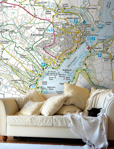
Posters are rolled and packaged in a cardboard tube.


Share this item: